During our test crossing #2 we obviously needed to communicate with the earth in order to keep regular contact with you, our readers, but also with our close circle of friends and family.
We also had to ensure our safety on the board but also that of the whole crew of our catamaran.
This is why we needed high technology tools to ensure this big point: satellite communication and tracking to communicate as regularly as possible our position during our expedition.
CLS (Collecte Localisation Satellites) then reached out to us, they graciously lent us the right products to ensure our safety during this Monaco – Athens crossing.
")
With this article we would like to thank them for their precious help and their availability but also to highlight their know-how and to reveal a little more about the work done behind the scenes to make a successful expedition.
For this reason, Anna SALSAC-JIMÉNEZ, in charge of communication for the Environment and Climate applications at CLS will enlighten us on the tools they have made available to us.
To begin, we will introduce you to the company CLS :
CLS is an international company, pioneering the provision of Earth observation and monitoring solutions since 1986.
Its vision is to imagine and deploy innovative solutions to understand, protect our Planet and manage its resources sustainably.
CLS employs 900 people at its headquarters in Toulouse and at its 34 other sites around the world.
The company operates in 5 strategic sectors of activity:
- sustainable fisheries management
- environmental & climate monitoring
- maritime safety
- mobility
- energy & infrastructure
The company provides satellite services based on location and environmental data collection (100,000 beacons are processed each month, drifting buoys, beacons on animals, fishing fleets or commercial fleets, etc.), ocean and inland water observation (more than 20 instruments on board satellites deliver daily information to CLS on the world’s seas and oceans), and data collection (more than 100,000 beacons are processed each month).), observation of oceans and continental waters (more than 20 instruments on board satellites provide CLS with daily information on the world’s seas and oceans), and monitoring of land and maritime activities (nearly 20,000 radar and optical images and several hundred hours of flight time by drones are processed and analyzed each year)
CLS was locating connected objects by satellite before GPS! CLS and CNES, with the ARGOS satellite system, invented the IoT, the Internet of Things, in the 1980s. Since then, CLS, a CNES subsidiary, has provided connectivity and associated services to the international community developing IoT for the environment.
Oceanographic buoys, weather stations, fish, marine mammals, birds, land animals, fishing boats, garbage trucks, anti-pollution buoys…
Nearly 20,000 ARGOS beacons are now active every month in all corners of the globe.
In 2018, CLS created Kineis. This subsidiary’s mission is to deploy an unprecedented connectivity dedicated to connected objects! A universal, low speed, simple, reliable connectivity offering a very high autonomy, compatible with other networks! How do you do it? By transforming the ARGOS system! Working in close collaboration with the French space dream team: CNES, Thales Alenia Space, Héméria, Comat and Syrlinks, Kinéis is preparing a constellation of 25 nanosatellites that will democratize the ARGOS system very soon, making it available to all.
Now that you know almost everything about the company CLS Anna tells us what they managed to put in place for the Cap Optimist project and why?
During our crossing we had three major tools:
- an ARGOS ocean tracker called Linkit-SB in two copies
- a direction finder
What are they for?
The Linkit is a back up connected by ARGOS it was affixed to the board of the rowing machine and allows to make the link between the tools on board the boat (the goniometer and this linkit)
CLS had given us a second Linkit in case we lost it. The batteries can last between 2 months and 5 years…
The goniometer is a tool that allows to capture the data data sent from the beacon to the satellitesIt receives messages from where the beacons are located and acts as a relay between the board and the tracker. This goniometer is recharged by USB port and is therefore battery operated.
Thanks to these tools we had access to data recovery where we could communicate them almost instantly to our web developer. The goal? Track the rowers during their crossing thanks to software set up between the web developer and our website and the CLS teams to allow you to follow the progress of their journey from our website www.capoptimist.com!
CLS has also accompanied the famous French explorer Jean-Louis Etienne since the beginning. We invite you to visit the following article that highlights this incredible character! https://www.cls.fr/jean-louis-etienne-explorateur-accompagne-depuis-espace/
CLS is also at the service of organizing committees of ocean races such as the Vendée Globe in the detection of icebergs, all by analyzing currents and radars…
Again, a huge thank you to this company for its expertise, professionalism and kindness in providing us with all this equipment for our safety.
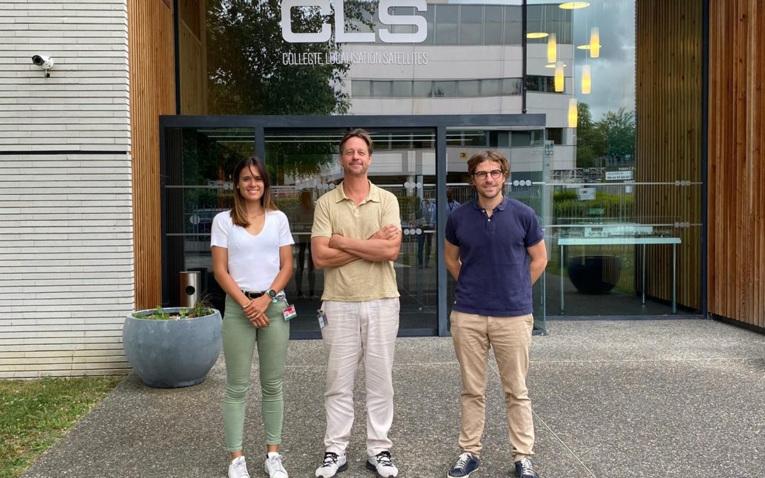
Thanks to our interlocutors Anna SALSAC-JIMENEZ and Marine PAYET who took care of providing us with these tools .


For example: by giving 100* euros my donation is divided as follows
*60 € dedicated to the Super Optimist program (sick children) and educational programs of prevention of health sports in schools + 40 € dedicated to the sports, medical and scientific expedition.
We give you an appointment on July 05 to discover our 6 waterwomen and many other surprises!